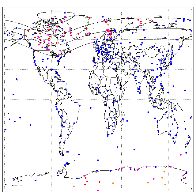
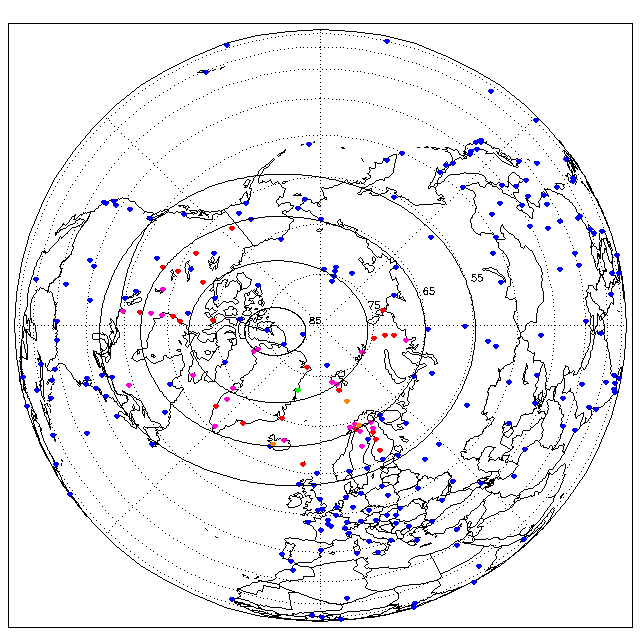
Maps of Ionosondes and Riometers
Following are several clickable maps showing the positions of ionosonde and riometer sites against the background of the continents. In the northern hemisphere four rings of geomagnetic latitude are also shown for information (calculated in the AACGM co-ordinate system).The colour coding is
- Blue - Ionosonde
- Red - Riometer
- Orange - Imaging Riometer
- Magenta - Ionosonde and Riometer
- Green - Riometer and Imaging Riometer
World (cylindical projection)
Northern Hemisphere (orthographic projection)
Southern Hemisphere (orthographic projection)
